The importance of definitions in deforestation assessments

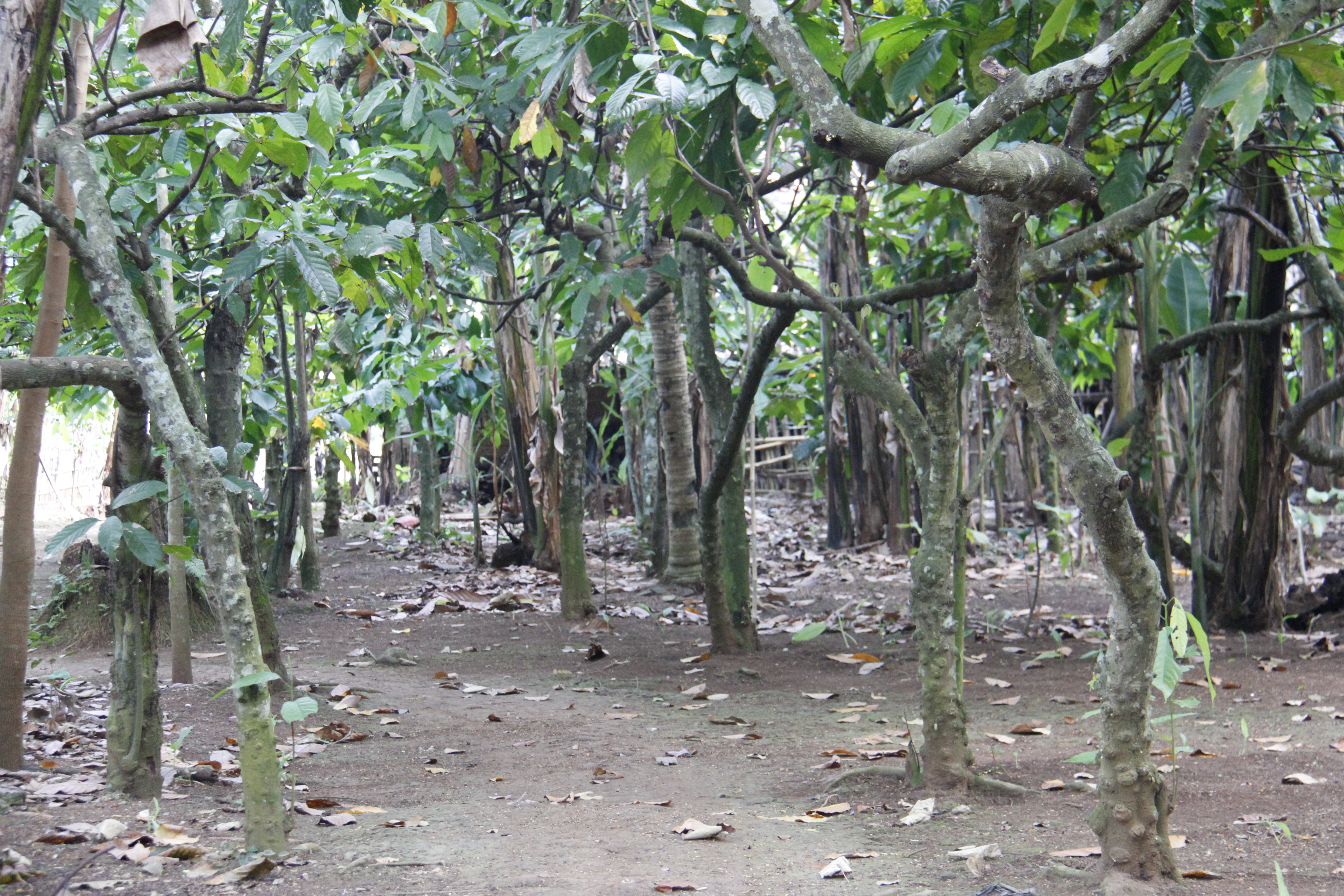
How forested land is defined in deforestation assessments has always been a “contentious” issue in Indonesia as the article below from Mongabay describes. International organisations such as the FAO define forest as “land spanning more than 0.5 hectares with trees higher than 5 meters and a canopy cover of more than 10 percent, or trees able to reach these thresholds in situ” (FAO, 2012a). Continue reading “The importance of definitions in deforestation assessments”

Final presentation of results to CIAT

This week I got data on cocoa farm areas and primary and secondary deforestation figures for Sulawesi and Lampung and presented a quick assessment of these results to CIAT at a lunchtime presentation yesterday. I will spend more time over the coming days examining the data but this quick assessment (see figure below) showed that about 35% of cocoa areas in Sulawesi were located on areas that were deforested since the 1990s, compared with only about 5% of cocoa areas in Lampung. There may be many reasons for this, which I hope to explore a bit more once I have the Sulawesi data broken down into the four provinces.

Continue reading “Final presentation of results to CIAT”

Estimating aboveground carbon stock in forests: Remote sensing

Following on from the last few blog posts, a third technique for estimating aboveground carbon stocks is through remote sensing. Remote sensing has relevance for my project since we are using it to identify cocoa farm typologies at a large (national) scale and I will indirectly use it to classify the carbon stock of those typologies.

Remote sensing and satellite imagery techniques can cover large ages and can be used for landscape classification when combined with secondary spatial information. Broad forest types at the landscape level and even tree dimensions at the plot level can be estimated which can then be converted into biomass using statistical relationships (Brown, 1997; Chave et al., 2005; Saatchi et al., 2011). Remote sensing techniques can broadly be grouped into categories of optical sensing, high-resolution satellite imagery, microwave or radar, and LiDAR. Continue reading “Estimating aboveground carbon stock in forests: Remote sensing”

Challenges and opportunities for zero deforestation commodities

Recently I came across an interesting discussion item from CIFOR (Center for International Forestry Research) entitled “Are deforestation-free commodities too good to be true?” which nicely summarises the challenges and opportunities for commodities. Continue reading “Challenges and opportunities for zero deforestation commodities”

Estimating aboveground carbon stock in forests: Allometric models

Following on from the last blog post, this post will look at another method for measuring aboveground biomass in forests is through the use of allometric models which relate tree dimensions to biomass. This is a good time to discuss this approach, since I’ve spent the past few days comparing allometric models used in two different regional carbon assessments of cocoa farms in Indonesia. Continue reading “Estimating aboveground carbon stock in forests: Allometric models”

Challenges of remote sensing for mapping plantations

The past week I was helping to compile information and guidance for the Terra-I team to allow them to start mapping the cocoa farms from the polygons they have been given. One of the biggest challenges they will face is distinguishing tree plantations from other vegetation such as secondary forests with a high degree of accuracy. This was backed up by my review of the available literature on this topic on Tuesday.

Spectral confusion (reflectance from vegetation) with native vegetation is a well-known challenge in agroforestry and tree crop systems, particularly in mapping cocoa, shade coffee, oil palm, and evergreen rubber tree plantations. Tree crops are grown using full sun or low shade methods are less likely to be misclassified than when they are grown in densely-shaded agroforest.

Cocoa cultivation systems (source: Jacobi et al., 2013) Continue reading “Challenges of remote sensing for mapping plantations”

Terra-I and land-use change detection

Terra-I detects and monitors land cover change resulting from human activities. It was developed in cooperation with CIAT to provide decision-makers and national and local authorities near real time updates of vegetation loss and deforestation.

Terra-I will be a powerful tool for this research project. My ability to estimate the carbon impact at a national level is largely dependent on the Terra-I team being able to locate and estimate the sizes of cocoa plantations. The exercise will require a visual inspection of satellite imagery to confirm what a typical cocoa farm signature should look like. This information will then be able to be fed back into the system in order to replicate on a large scale.

Below is a short time-lapse video of Terra-I detecting land-use change and deforestation (shown in red) in the Amazon.