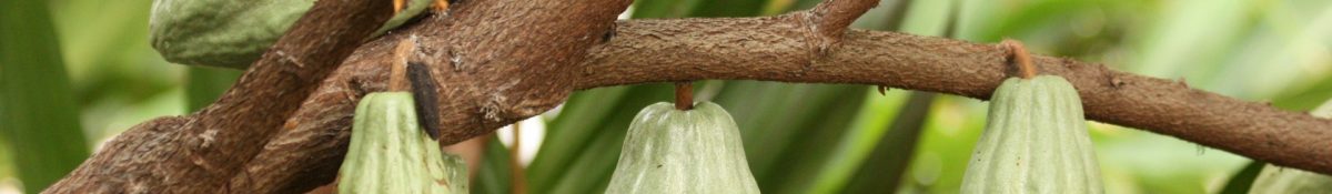
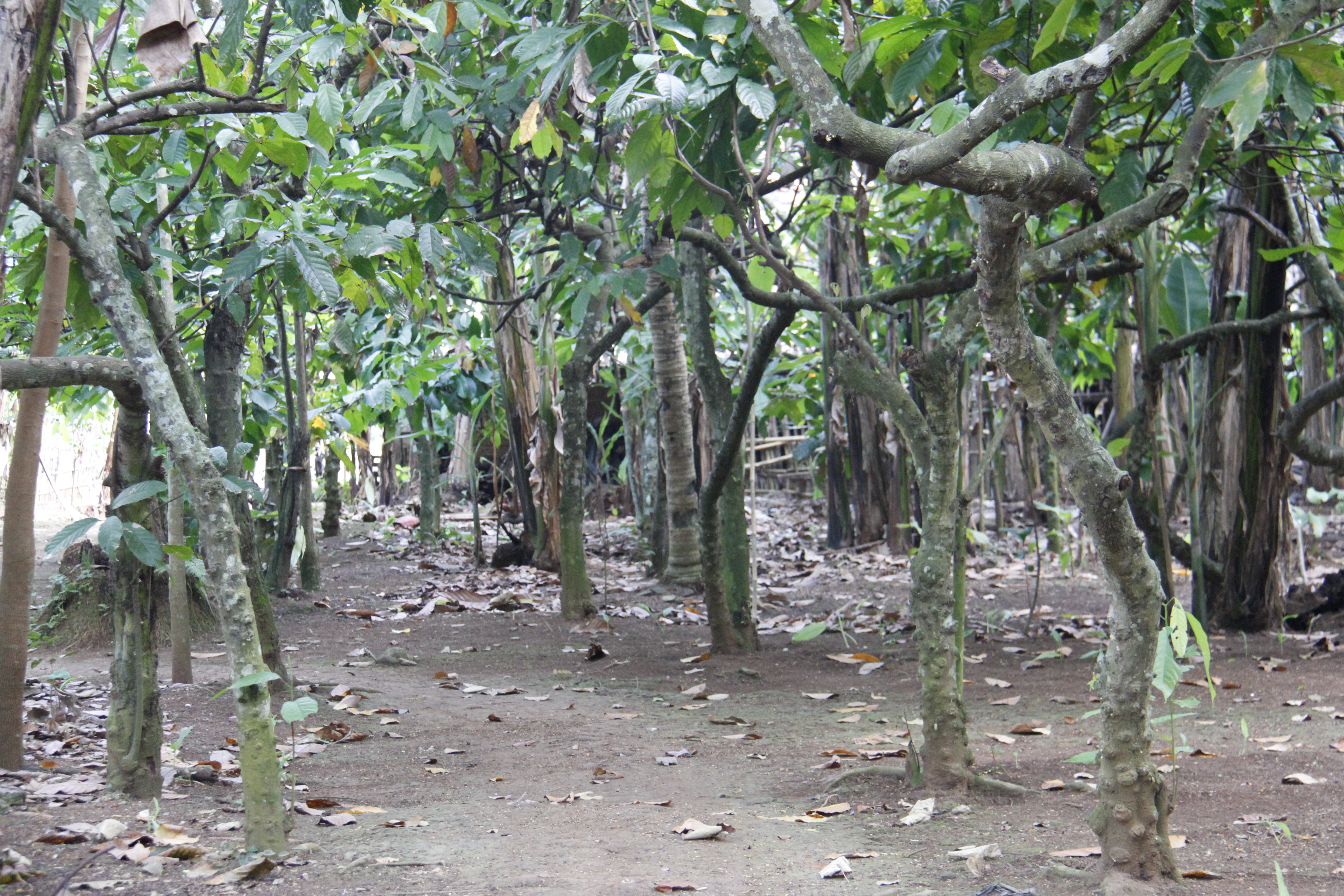
How forested land is defined in deforestation assessments has always been a “contentious” issue in Indonesia as the article below from Mongabay describes. International organisations such as the FAO define forest as “land spanning more than 0.5 hectares with trees higher than 5 meters and a canopy cover of more than 10 percent, or trees able to reach these thresholds in situ” (FAO, 2012a).
National definitions of forest vary from this definition and the IPCC recommends the use of country specific national definitions (IPCC, 2006). Indonesia has vast amounts of forested land with large variation in forest cover type therefore different definitions of forest can lead to vastly different deforestation and forest degradation area estimates (Romijn et al., 2013). One of the definitions in Indonesia according to the Ministry of Forestry is “land spanning more than 0.25 hectares with trees higher than 5 meters at maturity and a canopy cover of more than 30 percent” (MoF, 2015). The article below discusses how some forest definitions in Indonesia can lead to industrial plantation areas (established on deforested land originally) not being classed as deforested land.
Link to article: