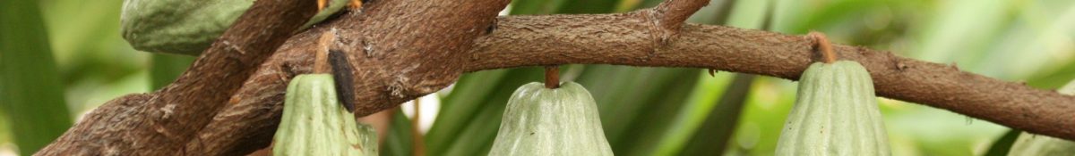
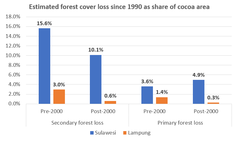
This week I got data on cocoa farm areas and primary and secondary deforestation figures for Sulawesi and Lampung and presented a quick assessment of these results to CIAT at a lunchtime presentation yesterday. I will spend more time over the coming days examining the data but this quick assessment (see figure below) showed that about 35% of cocoa areas in Sulawesi were located on areas that were deforested since the 1990s, compared with only about 5% of cocoa areas in Lampung. There may be many reasons for this, which I hope to explore a bit more once I have the Sulawesi data broken down into the four provinces.
My project will now be an assessment of cocoa deforestation and cocoa carbon storage in Lampung and Sulawesi provinces only, rather than looking at mapping the entire country. This is because there are still challenges and refinements to be made to the classification which will take time before it can be run at a larger scale. The system seemed to be greatly over-estimating the cocoa areas in Lampung which was evident when compared with government statistics on cocoa production for the region. It seemed like the system was mapping coffee as cocoa in some regions therefore it was decided to re-run the classification only for regions in Lampung that both government statistics and CIAT colleagues suggested had more cocoa and less coffee, and the results were much more promising.
Primary and secondary forest loss resulting from cocoa since the 1990s was then calculated using 1990 forest data. A similar approach to the Lampung approach was then taken for the South, Southeast, Central and West Sulawesi provinces, selecting 25 districts where CIAT had more data on cocoa growing and where there was more cocoa grown.
I leave Hanoi today so the next post will be from a much cooler Ireland!