The past week I was helping to compile information and guidance for the Terra-I team to allow them to start mapping the cocoa farms from the polygons they have been given. One of the biggest challenges they will face is distinguishing tree plantations from other vegetation such as secondary forests with a high degree of accuracy. This was backed up by my review of the available literature on this topic on Tuesday.
Spectral confusion (reflectance from vegetation) with native vegetation is a well-known challenge in agroforestry and tree crop systems, particularly in mapping cocoa, shade coffee, oil palm, and evergreen rubber tree plantations. Tree crops are grown using full sun or low shade methods are less likely to be misclassified than when they are grown in densely-shaded agroforest.
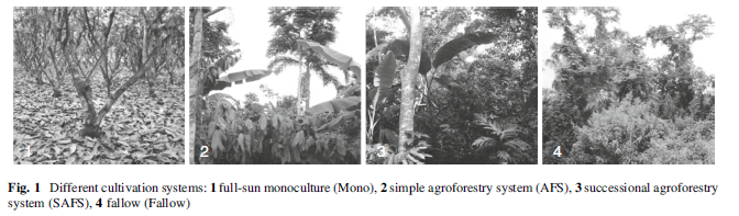
Cocoa cultivation systems (source: Jacobi et al., 2013)
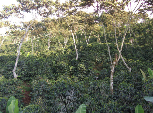
Coffee agroforest (source: van Rikxoort et al., 2014)
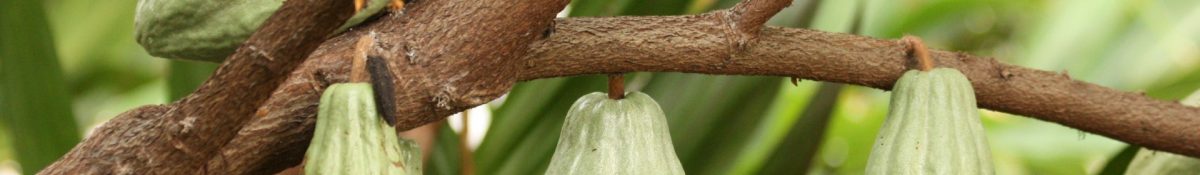
Even if we assume the tree plantations can be distinguished from primary and secondary forest with an acceptable degree of accuracy, the next challenge could be differentiating between cocoa and coffee agroforest since they can have similar characteristics and often indistinguishable on satellite imagery. Coffee is grown in many of the same regions as cocoa, in similar agroforestry systems with similar tree species. The similarities even from ground level are evident in the pictures above. For these reasons supervised classification is one of the methods necessary for this mapping exercise.
In the next post I will give an introduction to the methods used for assessing carbon stock in aboveground biomass of forests.