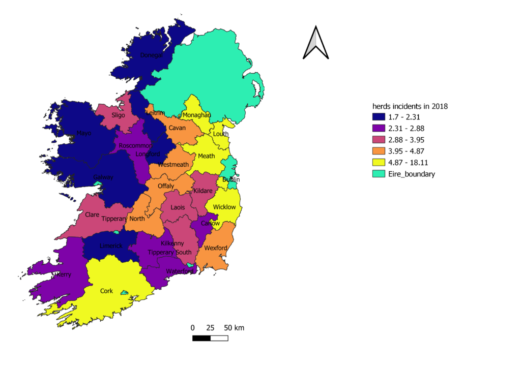
In the early weeks of February , we studied the art of GIS (geographic information system) .
This module showed how versatile GIS is and how it can be applied to many scenarios worldwide like ,flood planning , housing , agricultural, economical , weather , archaeological, historical , geographical.
The software produces lovely graphics , we used QGIS , similar to ArcGIS, for this module which was very user friendly and would definitely recommend for a beginner to use !
It was a great module and something very useful to know and will be used in the future when presenting data.
This paper below was vert interesting to read !
Ahasan, R. and Hossain, M., 2020. Leveraging GIS and spatial analysis for informed decision-making in COVID-19 pandemic. Health policy and technology.